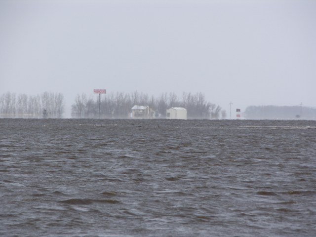
This picture is taken from the WildRice River bridge on Cass 16 looking Northwest towards St Benedict, ND.
The proposed LPP for Fargo-Moorhead Metropolitan Area Flood Risk Management will remove 69.8 square miles of natural flood plain protection for the region and cause impacts to outlying areas.
The proposed Fargo Dam and Diversion will wipe-out the ND communities of Oxbow, Hickson and Bakke as well as causing financial impacts to Kindred and Richland – Colfax school districts.
The impacts will be felt in four counties, including the ND counties of Cass and Richland and MN counties of Clay and Wilkin.
Detailed list of adversely affected areas:
• Oxbow, ND
• Hickson, ND
• Bakke, ND
• Kindred, ND
• Davenport, ND
• Christine, ND
• Comstock, MN
• Wolverton, MN
• Rural Cass County
· Pleasant Township, Cass County, ND
· Normanna Township, Cass County, ND
· Warren Township, Cass County, ND
· Mapleton Township, Cass County, ND
· Raymond Township, Cass County, ND
· Berlin Township, Cass County, ND
· Harwood Township, Cass County, ND
• Rural Richland County
· Walcott Township, Richland County, ND
· Eagle Township, Richland County, ND
· Colfax Township, Richland County, ND
· Abercrombie Township, Richland County ND
• Rural Clay County
· Holy Cross Township, Clay County, MN
• Rural Wilkin County
· Wolverton Township, Wilkin County, MN
· Deerhorn Township, Wilkin County, MN
· Roberts Township, Wilkin County, MN
Views: 64
